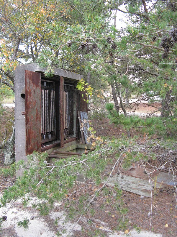
Cable Hut B west of Cantonment Area
|
||||
| Cable Hut B is shown as a black pentagon with a white "B" just north of Tower 7 on FortMiles.org's map of Zone 6. | ||||
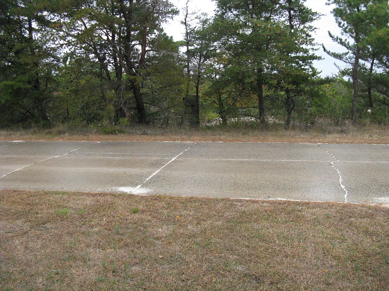
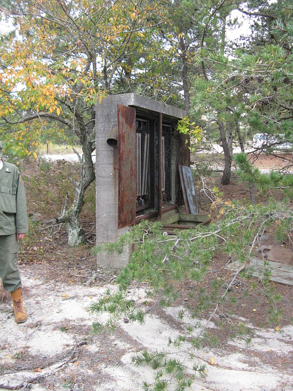
| View of enclosure from Tower 7 parking lot |
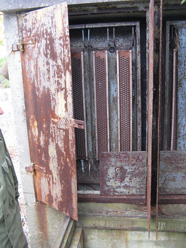
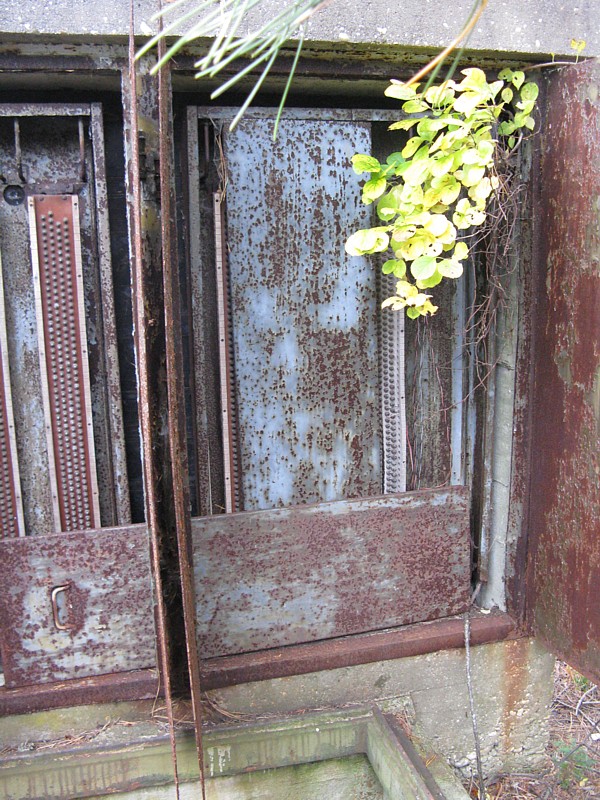
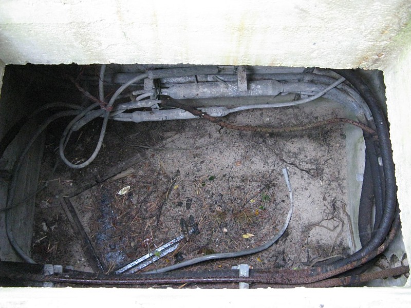
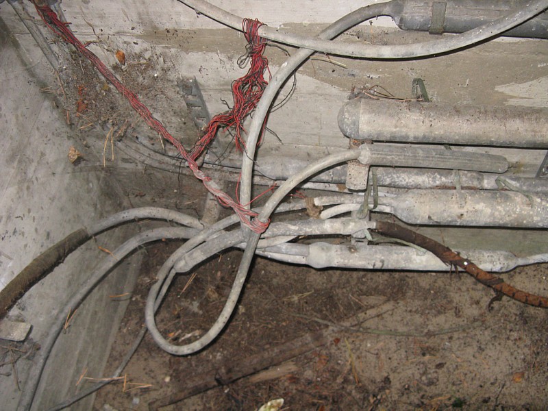
Closeup of terminal enclosure | Original cables in commo pit | Closeup of pit. Most likely a porcelain terminal box |
|
 |
 |
 |
 |
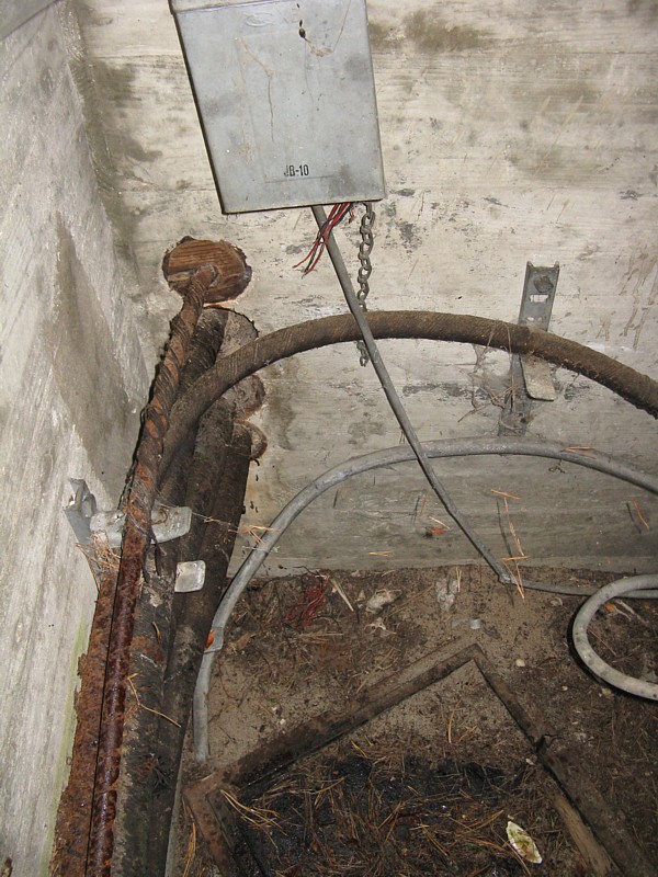 |
| Original lead splices and lead cables in pit. |
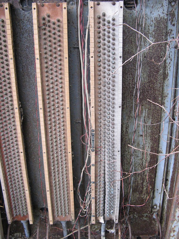
Closeup of terminal strips |
Label tape Showing Radar Casement terminals. |
View from east of structure looking toward Tower 7. | |
 |
 |
 |
 |
|
|
WHAT WAS KNOWN BEFORE 10-24-2009
1. Location of this structure. 2. Original cables existed in this structure. 3. According to maps at least 1 cable should go to Tower 7. 4. According to maps this structure is part of the mine plotting/spotting infrastructure. SEARCHES AND FINDINGS 10-24&25-2009 No modern cables in cable pit. Modern(1960 or newer) labels were found on the terminal strips. Modern labels on terminal strips support that there may be other conduits in the north commo pit outside 519. There is a label "TO RADAR CASEMENT". Battery 519 was a Gap Filler Radar Station so this indicates a connection to 519. This information makes a direct path between 519 and 519's PSR less likely. There is also a label "CASEMENT SWBD". This could be to any of a number of casements. TASKS FOR A LATER DATE Cable Hut B should connect to Cable Hut A on FortMiles.org's map of Zone 5 and Cable Hut C on FortMiles.org's map of Zone 7. 1. Cable Hut A & C should be explored. 2. Cable Hut A & C should be tested to see if connections can be made to Cable Hut B. 3. Cable Hut A & C should be tested to see if conduits run continuous to Cable Hut B. 4. Determine the feasability of running new cable (or fiber) between Cable Huts A & B. 5. Determine the feasability of running new cable (or fiber) between Cable Hut B and the north commo pit outside 519. SEARCHES AND FINDINGS 12-12-2009 Cable Hut A is a complete loss due to flooding. |
||||