Cable Hut A west of Parade Field
|
||||
| Cable Hut A is shown as a black pentagon with a white "A" at the east end of Shady Lane on FortMiles.org's map of Zone 5. | ||||
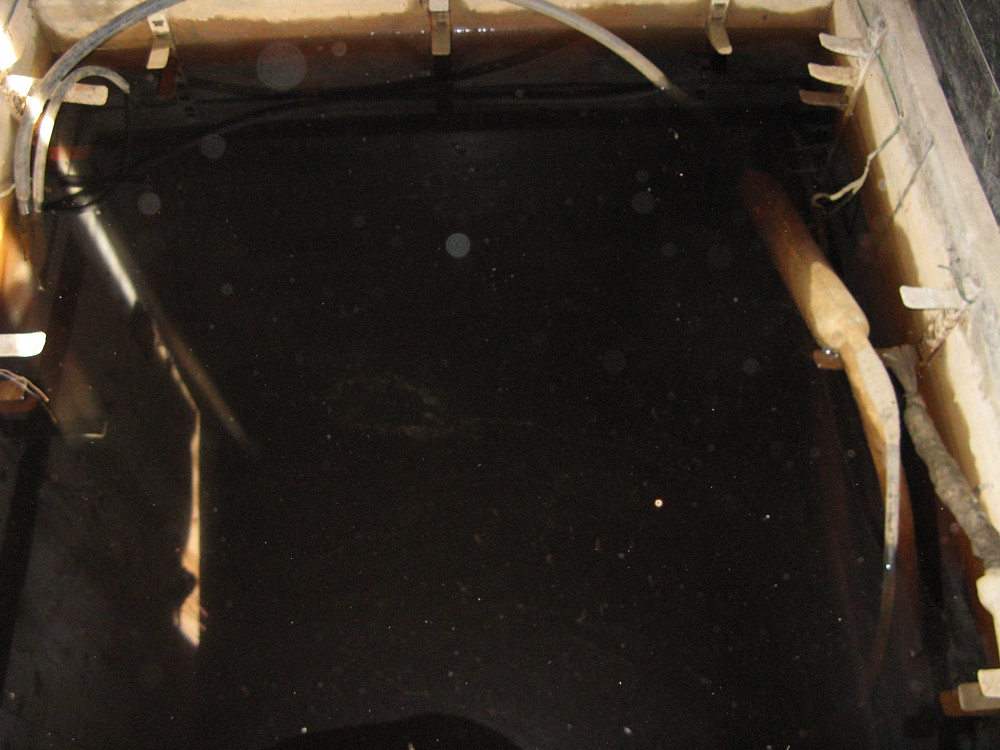
| Flooded pit and obviously dead cables. |
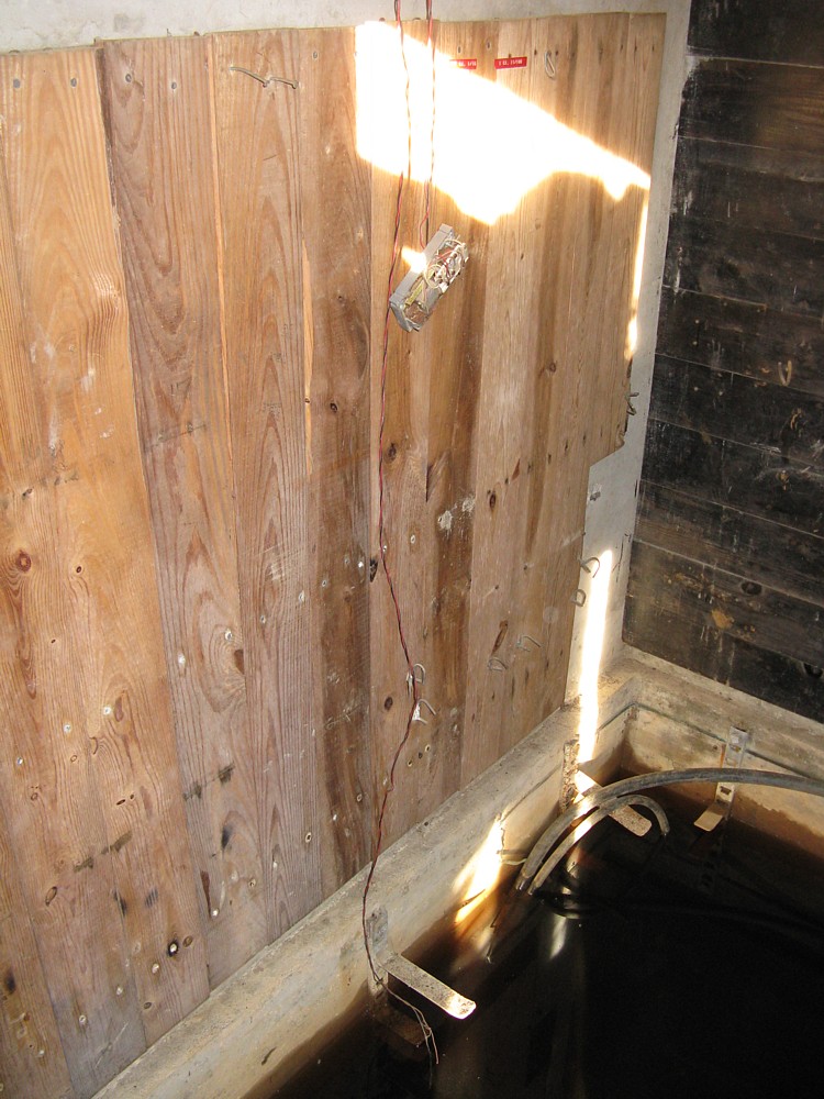
Post 1960 labels and telco equipment. (North Wall) |
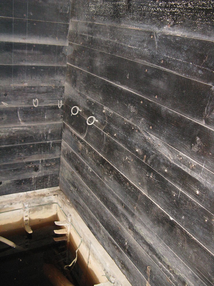
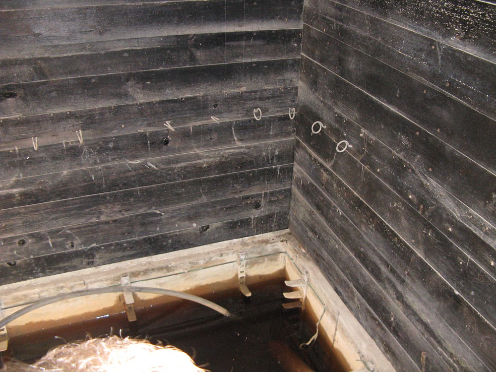
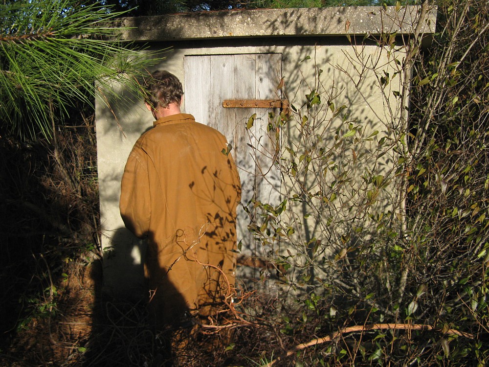
South Wall | East and South Walls. | Entrance on west side of structure. |
 |
 |
 |
 |
 |
|
WHAT WAS KNOWN BEFORE 12-12-2009
1. Location of this structure. 2. According to maps this structure is part of the mine plotting/spotting infrastructure. 3. Cable Hut A originally connected to Cable Hut B on FortMiles.org's map of Zone 7. SEARCHES AND FINDINGS 12-12-2009 Minimal modern cables were found inside above ground structure. WWII cables were visible in cable pit. Modern(1960 or newer) labels were found on the north wall. Cable pit is completely flooded and appears to have been for some time. Water table in the area were Cable Hut A is located is at or above ground level. There is also a stream nearby. There is a pumping station structure nearby that suggests water has always been an issue. This structure is most likely a complete loss as far as the current commo project. |
||||